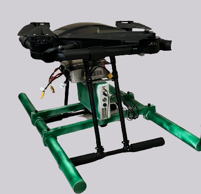
QFLY IV Bathymetric and Utility Scanning
Our airborne Bathymetric drone provides faster, cost efficient underwater surveys and mapping. It can be easily deployed in hard to reach areas. We offer our aerial survey and inspection services to subsurface pipelines, highways, and railway tracks. We also provide detailed subsurface analysis (soil and rocks) for laying new pipelines.

 Facebook
 Instagram
 Linkedin